
TOPO4D Drone mapping and Inspections
At TOPO4D.com, precision is key to effective mapping and inspections. Our advanced drone technology captures high-resolution imagery, ensuring every detail is covered. Whether in construction, agriculture, or environmental monitoring, our solutions boost safety, efficiency and visualise every detail.
Need accurate data?
Working across industries
Our drone mapping and inspection services are designed to provide you with unparalleled accuracy and efficiency. Whether you are in construction, agriculture, or any other industry, our expert team is dedicated to delivering high-quality aerial data that empowers you to make informed decisions. Explore the endless possibilities with our state-of-the-art drones and let us help you transform your vision into reality. Join us on this journey of innovation and excellence.

Where technology meets efficiency

Our Services
At TOPO4D, we harness the power of cutting-edge technology and a wealth of industry expertise to transform the way you perceive land surveying and drone services. Our dedicated team delivers precision mapping and inspection solutions that are tailored to meet the unique needs of each project.
Drone mapping
Centimeter accurate data from drone or plane photogrammetry and lidar data capturing.
Drone inspections
We provide precise, efficient, and safe aerial assessments for a wide range of industries, delivering detailed data to support informed decision-making
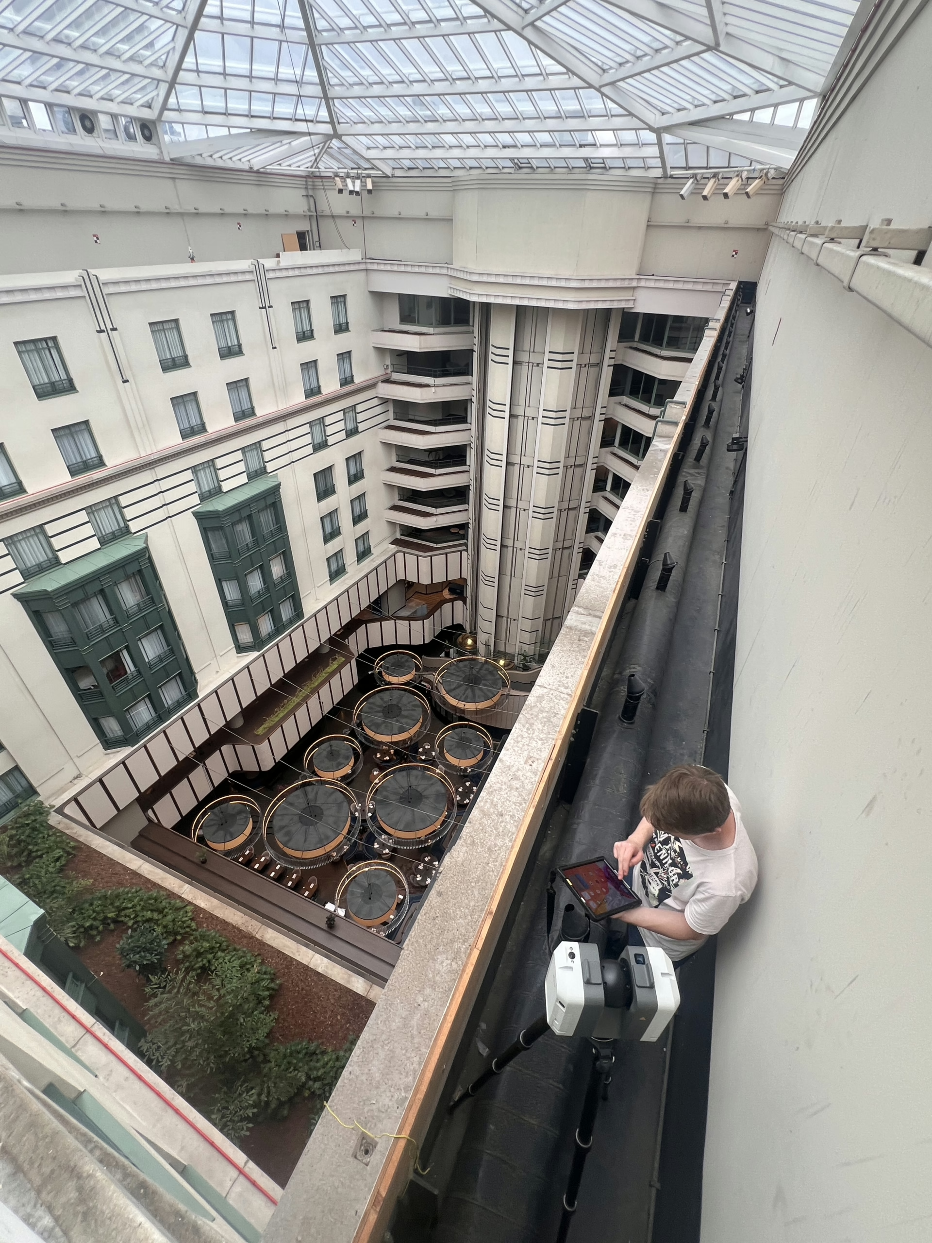
3D Laserscanning
Monitoring
Hydrography
Detailed underwater mapping and data collection using advanced drone and sonar technology.
Thermal inspections
We detect heat variations and identify potential issues, ensuring accurate and non-invasive assessments for improved maintenance and performance.
What our clients say

“Working with TOPO4D has been a game-changer for monitoring the position changes of our concrete floor. Their advanced monitoring technology and real-time data tracking allowed us to detect even the slightest shifts with incredible accuracy. The team’s professionalism and attention to detail gave us peace of mind, ensuring we could address potential issues before they became costly problems. “
From land surveying to drone services
TOPO4D began as a traditional land surveying company, offering precise and reliable measurements for construction and infrastructure projects. As technology advanced, we recognized the potential of drones to enhance our services, allowing for faster, more efficient data collection with greater detail. Over time, we embraced cutting-edge drone technology, expanding our offerings to include aerial mapping, inspections, 3D laser scanning, thermal imaging, hydrography, and monitoring services. Today, TOPO4D is a full-service drone provider, delivering innovative solutions across multiple industries while maintaining our commitment to precision, safety and quality.
Why choose TOPO4D
- Precision & Accuracy: Advanced drone technology ensures highly accurate data collection.
- Efficiency: Faster, more cost-effective solutions compared to traditional methods.
- Expert Team: Experienced professionals dedicated to delivering high-quality results.
- Versatility: Comprehensive services, from mapping and inspection to monitoring and 3D scanning.
- Innovation: We continuously leverage the latest technologies to stay ahead of industry trends.


Vanden Avenne Guillaume
CEO TOPO4D
info@topo4D.be
Call
+32 473 70 89 15
Contact Us
Our Clients


What People Say About Us.
Our Team

Vanden Avenne Guillaume
Land Surveyor and drone pilot / CEO @TOPO4D
Brecht De Bock
land surveyor and drone pilot

New Hire
Drone pilot @ TOPO4D
New Hire
land surveyor and drone pilot @ TOPO4D
Contact Us.
Email Us
info@topo4D.be
Call Us
+32 473 70 89 15
Office
Schaapschuur 1/5
1790 Affligem
Belgium